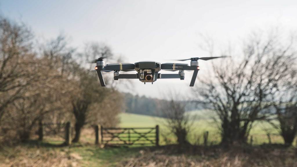
The drones have grown to be powerful commercial tools outside of the military in the last few years. It has provided safety and efficiency at the same time. Nowadays, it is also used for aerial surveying and mapping.
Drones have been successfully incorporated into surveying workflows to conduct ground surveys, photogrammetry, 3D imaging, topographic surveying, and more for their ability to collect data from above.
Whether you do need or you are only interested in drone surveying services, this article will tell you all.
What Is a Drone Survey?
The exact science of determining the location of points in 2D and 3D space and the distances between them are surveying. A drone survey is essentially a survey performed using a drone from above. A field is photographed several times from various angles during a drone survey with an RGB sensor, and each image is marked with coordinates.
Drones can travel at a much lower altitude, unlike manned aircraft or satellite imaging, allowing high-resolution, high-accuracy data generation much easier, less costly, and independent of atmospheric conditions such as cloud cover.
Who Uses Drones?
Many sectors need surveyors to include maps of land regions. Here is a list of the industries where drone surveying services are used.
Construction: Companies require surveyors to launch nearly every project, but they need their assistance on large-scale projects in particular. Drone imagery allows them to define plot limits, construct legally appropriate subdivisions, and determine the land’s suitability before any foundations are started.
Oil & Gas: A substantial amount of preparation is needed to build oil and gas pipelines. Drone surveys help these businesses determine where pipelines can and cannot go, whether due to proximity to natural resources and protected sites, pre-existing development or facilities, or private land.
Mining: For conventional surveyors, quarries and open mines can be risky environments, but mining firms also need to chart their work sites. UAVs offer an exceptional means to collect aerial photographs and create computer models while keeping their surveyors as comfortable as possible.
Archaeology: Archaeologists need to survey the area before they perform digs to determine if it looks like a promising site or not. The use of drones makes it easier for them to do so easily and at minimum cost, saving time, and helping them to find interesting locations.
Are Drones Accurate?
The performance and type of drone, the nature of its materials, the resolution of the sensor, the height, the vegetation, and the aerial picture geolocation process and technologies will have a significant effect on the precision of drone survey mapping. At this stage, with a high-end surveying drone, absolute precision down to 1 cm (0.4 in) and 0.7 cm/px (0.3 in/px) GSD can be achieved under optimum conditions.
Final Verdict
The need to find out what it takes to successfully incorporate drones into a surveying company or workflow shows why the drone opportunities in this room are extremely lucrative. However, being able to take advantage of them, instead of particular pieces of hardware or technologies, is all about insight and knowledge.


